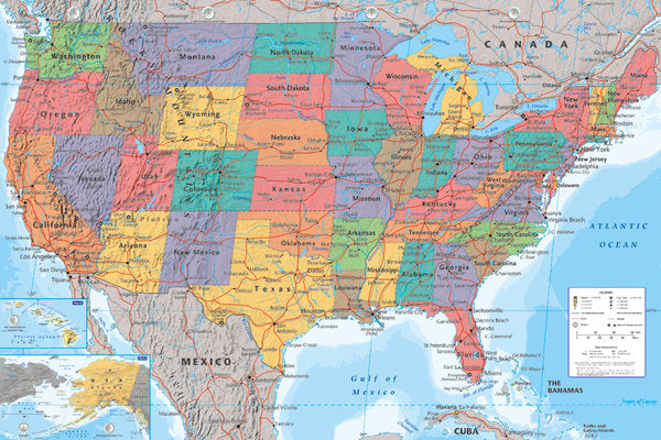
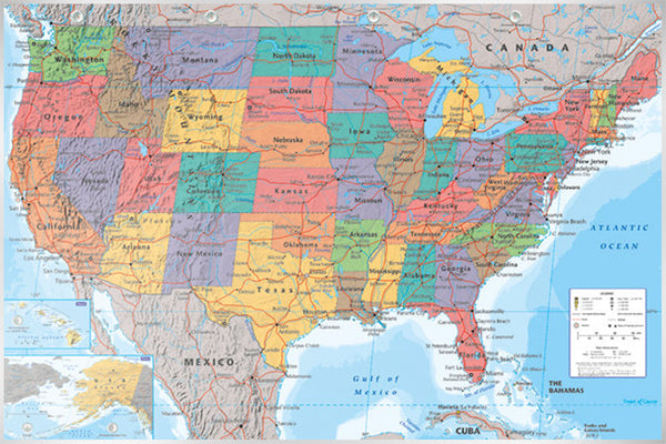
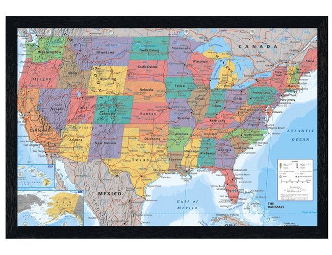
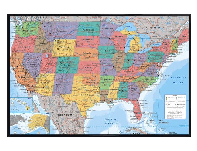
Map Of The USA Political Map Poster 91.5cm x 61cm (36" x 24")
Regular price
£4.99
Regular price
Sale price
£4.99
Unit price
per
Out of stock
Couldn't load pickup availability
Education Maxi Poster: Learn all about the different states of America with this colourful political map which covers all the states as well as the surrounding bodies of water. Surrounded by the borders of Mexico and Canada, each of the states from Alabama to Wyoming is pictured in a different colour from west to north east. With the Atlantic Ocean and the Gulf of Mexico present on the map as two of the surrounding bodies of water, this map is the perfect educational addition to classrooms and the home.
- Size (W x H): 91.5cm x 61cm (36" x 24")
- Product Type: Poster
- Product code: GN0757


